
 4★
In short
The Ponta do Sol to Fontainhas hike is a cliff path on Santo Antão's north coast, about an hour each way and two to three hours for the return trip. The route climbs above the sea to a village on a narrow ridge, and can be extended to Corvo and Cruzinha. Wear good shoes, carry water and avoid the path in rain or strong wind.
Island
Santo Antão
Allow
2–3 h
Type
Hiking
Nearest base
Ponta do Sol
Where the path starts
The walk begins in Ponta do Sol, the small coastal town on Santo Antão's north coast, reached by the coast road from Porto Novo. From the harbour and the lanes behind it, the path heads east along the cliff line, climbing above the sea before turning inland towards Fontainhas. There is no gate, ticket office or formal trailhead; the way out of town is easy to follow on foot, and anyone in the square can point the way.
The route is a walking path rather than a road, cut into the slope with open drops on the seaward side and terraces above. It is not a loop. Walkers go out to Fontainhas and return the same way, unless the day is planned as a longer one-way traverse to Corvo and Cruzinha with transport arranged at the far end. The ground is rough, so progress is slower than the distance suggests.
How long does the walk take
Ponta do Sol to Fontainhas takes about an hour each way at a steady pace, and most people allow two to three hours for the return. The distance is modest but the path climbs, dips and climbs again, and loose stone underfoot slows the walking. Add time for photographs and for a cold drink in the village, and plan for the upper end of that range when stopping often in the heat.
Heat changes the calculation. The north coast is greener than Sal or Boa Vista, yet the exposed stretches have little shade and the sun is strong from mid-morning. An early start gives cooler air and better light on the terraces. Some walkers continue to Corvo and Cruzinha and arrange transport from there, which makes a much longer day and needs planning before setting out.
What you see on the cliff path
The path is the point of the walk as much as the village is. For most of the way the ground falls away towards the sea on one side and rises in hand-worked terraces on the other, with maize, beans and banana trees on the slopes. Below, the water shifts colour with the light. Above, the ridge carries the roofs of the next settlement, which never seems to get much closer.
Because the route follows the contour, the view changes with every bend: a headland appears, then a bay, then the deep cut of a valley with houses at its mouth. Wind picks up in the afternoon and cloud can settle on the ridge without much warning, hiding the far end of the path. The drops are real, so keep to the inside when other walkers pass and give livestock room.
- Terraces: Small plots of maize, beans and banana trees are worked by hand on the slopes above and below the path.
- The sea: Open water runs out to the horizon, with the next headland always ahead and the light changing on it.
- Village roofs: Fontainhas shows up early as a line of coloured roofs on the ridge above the valley.
- Livestock: Goats and donkeys graze the slopes and often stand on the path, so slow down and walk around them.
The village of Fontainhas
Fontainhas sits on a narrow ridge above a terraced valley, its houses stacked along the crest and down the spine of the ridge in colours that stand out against the rock. The village is small and lived in, with lanes that end at the drop and a square that serves as the meeting point. It is one of the most photographed places in the islands, and for many visitors the reason to come to Santo Antão at all.
Treat the lanes as a neighbour's street. Ask before photographing people, keep gates closed and do not climb walls into the terraces, which are private ground and someone's livelihood. There is nowhere reliable to buy water, so arrive with your own and take rubbish away. If a small shop or bar happens to be open, a cold drink is a fair reward for the climb, but opening depends on the day.
Continuing to Corvo and Cruzinha
Walkers with time and energy can carry on past Fontainhas to Corvo and then Cruzinha, following the coast path further east. The route keeps to the same pattern, contouring above the sea with more terraced valleys and small settlements along the way. It turns a short morning walk into a full day, and the decision is better made in Ponta do Sol than at Fontainhas, where turning back is the only alternative.
The longer traverse is usually walked one way, with transport arranged at Cruzinha for the return by road. That needs sorting out before setting off, because there is no shortcut over the ridge. Carry more water than seems necessary, start early and check conditions with local people. The coast can close in quickly, and the path offers no alternative line if the wind becomes too strong. Local guides walk this coast and can be booked in the villages.
What to wear and carry
Good shoes matter more than anything else on this path. The surface is rocky, uneven and steep in short bursts, so trainers with grip are the minimum and sandals are a poor choice. Carry water for the whole walk, since there is nowhere reliable to refill between Ponta do Sol and Fontainhas, along with a hat and sun protection for the exposed stretches, where shade is scarce after mid-morning.
Weather turns quickly on the ridge, so a light waterproof is worth carrying even on a bright morning. Wind is the other consideration: on exposed sections it can push walkers off balance, and a single walking pole helps. Do not attempt the path in rain, when wet rock makes the drops serious, and avoid it in strong wind. Check the local forecast on the morning of the walk.
- Footwear: Sturdy shoes with grip, worn in beforehand, because the rock is uneven for the whole hour.
- Water: Enough for the return walk, since there is no reliable refill between the two villages.
- Sun protection: A hat, sunglasses and high-factor cream for the exposed sections, where shade is scarce.
- Windproof layer: A light jacket for the ridge, where cloud and wind can arrive within minutes.
- Rubbish: A bag to carry everything back to Ponta do Sol, because the path and village have no bins.
When is the best time to walk
Santo Antão is mountainous and greener after rain, and the north coast catches cloud when the south of the island is clear. The driest months, roughly November to June, give the most reliable walking. Short, irregular rains between August and October can leave the path slippery and the terraces muddy. Trade winds are strongest from about November to May, which suits kitesurfing on Sal and is less comfortable on an exposed cliff path.
Dust haze from the Sahara can reach the islands at times in winter, softening the views and flattening the light. None of this is predictable far ahead, so check the forecast the day before and be ready to swap the walk for something else. Mornings are usually calmer and cooler. After heavy overnight rain, give the path time to dry before trusting the narrow sections, and remember the rock holds water longer than the terraces.
Getting to Ponta do Sol
Santo Antão has no scheduled flights, so arrival is by sea. Ferries cross from Mindelo on São Vicente to Porto Novo in about an hour, with several sailings a day. From Porto Novo, the coast road to Ponta do Sol takes about 45 minutes to an hour. Aluguers, the shared minibuses and pick-ups used across the islands, run the route and leave when full, which can mean a wait.
Taxis wait at the port in Porto Novo, and the fare is agreed before setting off. Hire cars are common on Sal, Boa Vista, Santiago and São Vicente; on Santo Antão many visitors travel with a local driver-guide, which suits the steep roads. Weather can delay ferries, so keep a buffer day before an international flight. Check current sailings with the port or your accommodation, as schedules change.
- Ferry: Cross from Mindelo to Porto Novo in about an hour, with several sailings a day and delays in bad weather.
- Aluguer: Shared minibuses and pick-ups run from Porto Novo to Ponta do Sol and leave when full.
- Taxi: Taxis wait at the port; agree the fare with the driver before setting off.
- Coast road: The drive from Porto Novo to Ponta do Sol takes about 45 minutes to an hour.
- On foot: The path to Fontainhas starts within easy walking distance of the harbour and the town centre.
Hotels in Ponta do Sol, Santo Antão
For Ponta do Sol to Fontainhas hike, the nearest base is Ponta do Sol, Santo Antão, with 34 stays in the IMPT hotel database. Listed 5-star first, then 4-star, then by guest score. No prices here: each button opens live availability in the IMPT app.
4★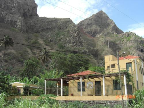 4★
 3★
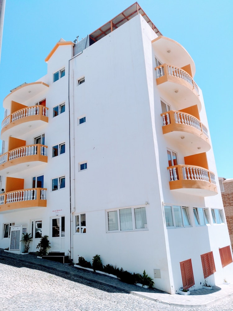
Hotel Miranda & Miranda
Ponta do Sol, Santo Antão · 3-starGuest score 4.5/5 from the booking supplier · 46 reviewsSee live price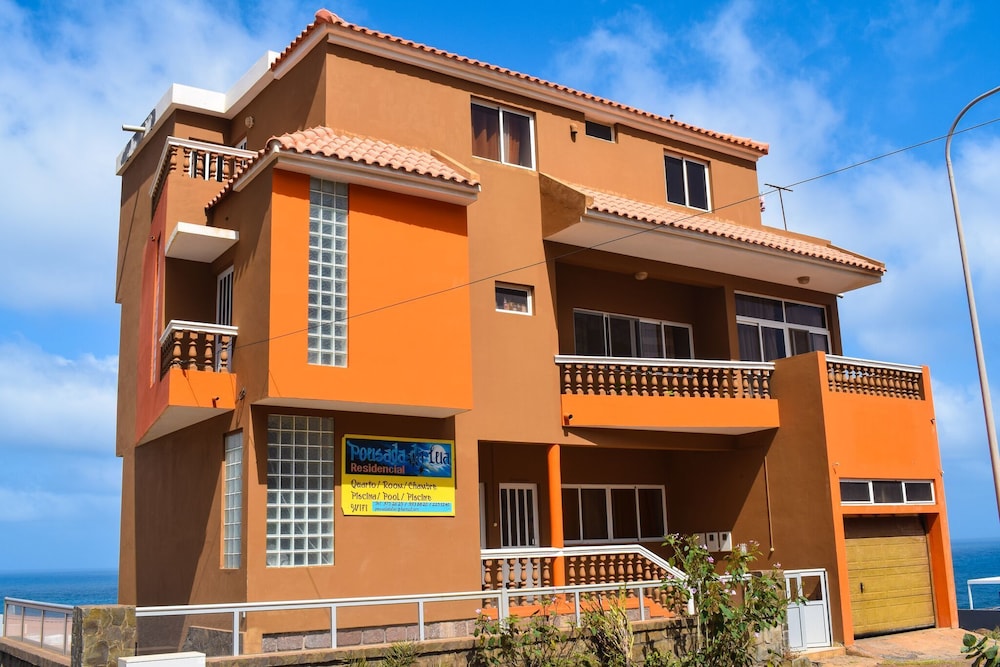 3★
Pousada Da Lua
Ponta do Sol, Santo Antão · 3-starGuest score 4.2/5 from the booking supplier · 6 reviewsSee live price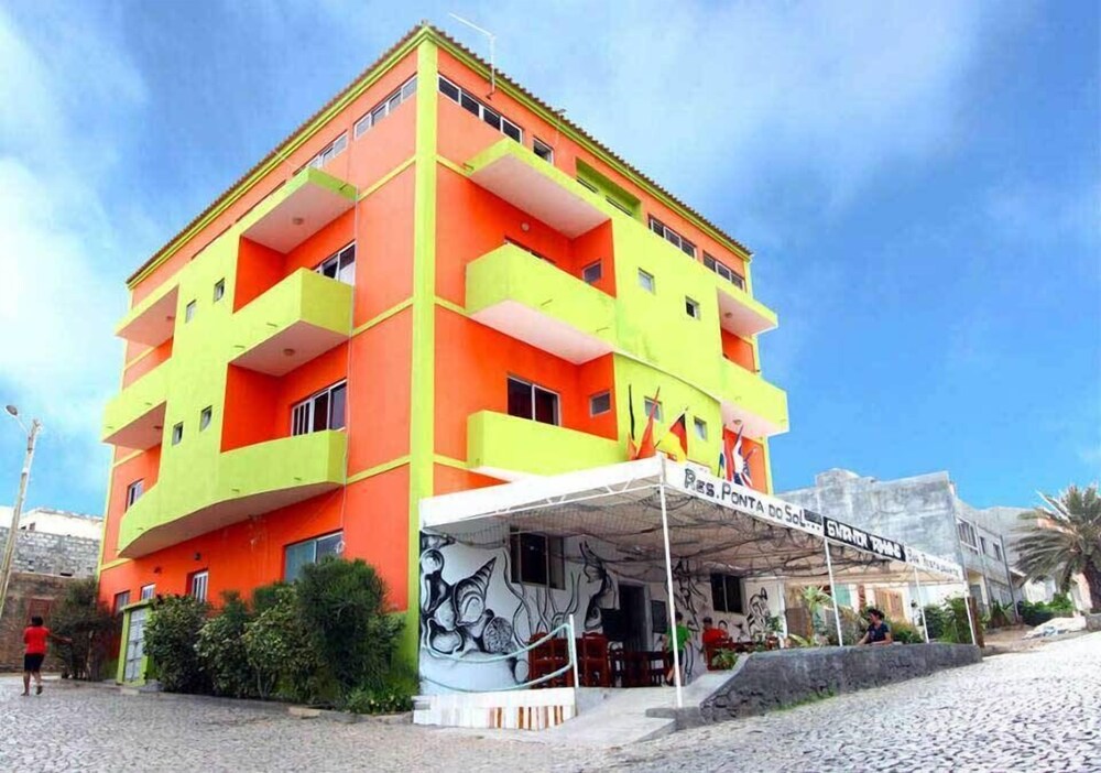 3★
Residencial Ponta Do Sol
Ponta do Sol, Santo Antão · 3-starGuest score 3.8/5 from the booking supplier · 72 reviewsSee live price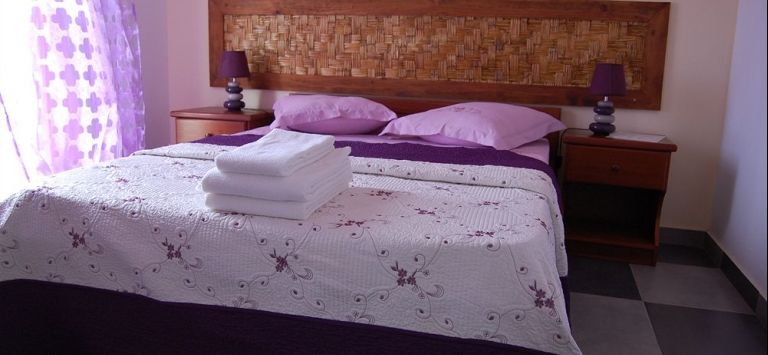 3★
Kolina d'sol
Ponta do Sol, Santo Antão · 3-starGuest score 3.8/5 from the booking supplier · 22 reviewsSee live priceAll hotels in Ponta do Sol → · All 81 hotels on Santo Antão →
Frequently asked questions
How long does the Ponta do Sol to Fontainhas hike take?
About an hour each way at a steady pace, so allow two to three hours for the return trip. The path is short but rough and undulating, and most walkers stop in the village for a rest before turning back. Add extra time if the plan is to continue to Corvo and Cruzinha.
Is the Ponta do Sol to Fontainhas hike difficult?
It is short but not flat. The path climbs above the sea, dips into small valleys and runs close to steep drops without a barrier in places. Anyone reasonably steady on their feet can walk it, but it is not suitable for pushchairs, wheelchairs or anyone uneasy with heights. Good shoes and a head for exposure are essential.
Can you walk the Ponta do Sol to Fontainhas hike without a guide?
Yes. The route follows the coast and is easy to find from Ponta do Sol, with the village visible on the ridge ahead for much of the way. Local guides are available for walkers who want company, local context or the longer traverse to Cruzinha, and can be arranged in the villages or through accommodation on Santo Antão.
What is there to see in Fontainhas?
Fontainhas is a village on a narrow ridge above a terraced valley, with houses stacked along the crest and lanes that end at the drop. The interest is the setting, the terraces and the everyday life of a small mountain settlement rather than any formal sight. Walk the lanes quietly, ask before photographing people and respect closed gates.
Can you continue from Fontainhas to Corvo and Cruzinha?
Yes, the coast path continues past Fontainhas to Corvo and then Cruzinha. That turns a short morning walk into a full day, so arrange transport at Cruzinha before setting out and carry more water. Check conditions with local people first, as the exposed sections are no place for strong wind.
When is the best time to walk the Ponta do Sol to Fontainhas path?
The driest months, roughly November to June, give the most reliable conditions. Rain between August and October makes the rock slippery, and trade winds from about November to May are stronger on exposed sections. Mornings are cooler and calmer. Check the local forecast on the day, as mountain weather on Santo Antão changes quickly.
What should you take on the Ponta do Sol to Fontainhas walk?
Sturdy shoes with grip, water for the whole return trip, a hat and sun protection, and a light windproof or waterproof layer. There is nowhere reliable to refill or buy supplies between Ponta do Sol and Fontainhas. Carry a charged phone and a bag for your rubbish, and keep the load light.
How do you get to Ponta do Sol for the Fontainhas hike?
Santo Antão has no scheduled flights. Ferries run from Mindelo on São Vicente to Porto Novo in about an hour, with several sailings a day, and the coast road from Porto Novo to Ponta do Sol takes about 45 minutes to an hour by aluguer, taxi or with a driver-guide. Weather can delay ferries, so keep a buffer day.
Is the Ponta do Sol to Fontainhas path safe in rain or wind?
No. Wet rock makes the narrow sections slippery and the unprotected drops more serious, and strong wind on the exposed stretches can push walkers off balance. Wait for a dry, calm day and check the forecast before setting out. If conditions turn while walking, turn back rather than pressing on towards Corvo and Cruzinha.
Read next
Sources: Ribeira Grande municipal council, Cape Verde Ministry of Tourism and Transport, Instituto Nacional de Meteorologia e Geofísica (INMG), Cape Verde Civil Protection. Editorial review: 4 November 2026, IMPT Cape Verde editorial team. Schedules, entry rules and opening times change; check before you go.
Photo credits: Zinneke, CC BY-SA 3.0, via Wikimedia Commons.