
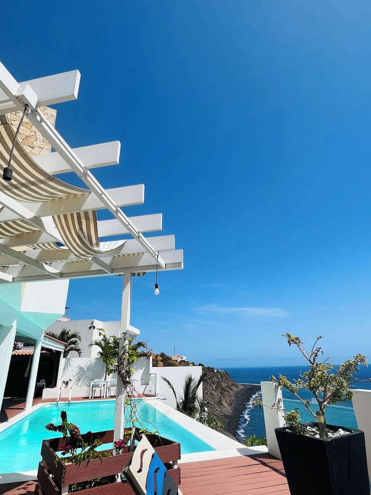
 5★
In short
Pico do Fogo is Cape Verde's highest point at 2,829 m, an active volcano above the crater of Chã das Caldeiras. Climbs start before dawn from Portela or Bangaeira with a local guide and take roughly 5 to 7 hours return over steep, loose ash and scree. Most people sleep in the crater the night before.
Island
Fogo
Allow
full day
Type
Hiking
Nearest base
São Filipe
Where does the Pico do Fogo climb start?
Almost every ascent begins inside Chã das Caldeiras, the wide crater floor of the Fogo volcano. Climbers set off from Portela or Bangaeira, where the track leaves the small fields of vines and beans and starts to climb ash. The crater sits high above the coast, so the night before is spent up there rather than in São Filipe. The road up from São Filipe is steep and slow, and the crater is quiet long before first light.
Portela is the usual meeting place, with the path leaving the edge of the village and heading up the slope behind it. Groups gather in the dark and walk by headtorch. There are no painted waymarks on the upper cone and no signage on the ash fields, so a local guide is the practical way to hold the line. Ask about the start time and the morning's conditions the evening before.
What is the Pico do Fogo climb like?
The climb is short in distance and hard in effort. The cone rises steeply from the crater floor and the surface is loose almost all the way: black ash low down, then coarse scree and small stones that slide back under each step. Progress is slow, with plenty of stops. Walking poles help. The upper section is more exposed to wind, and the last stretch to the rim is the steepest part of the day.
From the summit rim the whole crater opens below: the villages, the dark lava of the 2014-15 flow, the wine terraces and the sea beyond. The top is cold and windy before sunrise, so a warm layer earns its place. Descents are faster than the climb but harder on the knees and toes, and many people find the loose ground down more tiring than the way up.
- Lower ash slope: The path leaves the fields and climbs open black ash, where steps slide and the pace drops.
- Scree and stones: Loose rock covers the middle section, so keep to the guide's line and avoid cutting across.
- Summit rim: The final pull is the steepest, onto a windy rim with the crater laid out below.
- Descent: Coming down is quicker but jarring on the knees, and the ash takes concentration.
How long does the Pico do Fogo climb take?
Allow most of a day. Groups usually leave well before dawn so that the summit arrives with first light, and the return trip from Portela is commonly given as roughly 5 to 7 hours. That range covers pace, wind, waiting on top and how the descent goes. Ask the guide for a realistic estimate for your group rather than relying on a fixed number.
Timing on the mountain is not only about fitness. Loose ash slows everyone, and a headwind on the upper cone slows the whole group further. Because the climb is done in the dark on the way up, the descent is the part most people underestimate. Keep the afternoon free, and avoid planning a ferry or a flight out of São Filipe for the same day.
Do you need a guide for Pico do Fogo?
A local guide is standard practice, and for good reason. The upper cone has no marked trail, the ash holds no footprints for long, and cloud or dust can close the view within minutes. Guides live in Portela and Bangaeira and know the current line up the mountain. A fee applies, and it is worth agreeing what that fee covers before setting out.
Guides also carry knowledge that matters on an active volcano: which slopes are shedding rock, where the ground is stable, and when conditions argue for turning back. Ask the evening before about the plan and the meeting time. Independent walkers do go up, but they should treat the mountain seriously and check current conditions with the people who live in the crater.
Where can you stay in Chã das Caldeiras?
The crater has a small number of family-run places to sleep and eat, most of them rebuilt after the 2014-15 eruption. Rooms are simple and the nights are cool at this altitude. Book ahead in the busy months, because capacity inside the crater is limited and day visitors from São Filipe cannot easily make a pre-dawn start.
Staying up there is part of the trip. Evenings are quiet, the stars are strong and the walk to the start of the trail takes minutes rather than an hour of driving. Bring a torch, warm clothes and cash for the crater, since card machines and cashpoints are not something to count on. Confirm the plan with your host or guide when you arrive.
What can you eat and drink in the crater?
Chã das Caldeiras grows grapes and makes wine, and the crater is known for it. Family kitchens serve simple meals built around what grows and grazes up there: goat's cheese, beans, corn, and meat or fish depending on what came up the road. Cachupa, the slow-cooked corn and bean dish, appears on many tables, and the fried version the next morning is a good start before a climb.
Grogue, the sugarcane spirit, is made on Santo Antão and Santiago rather than Fogo, but it is widely drunk, and ponche, the sweetened mix, turns up after dinner. Crater wine is the local drink to try, and the vines below the villages are part of the landscape you walk through at the start of the climb. Ask what is made on the spot rather than assuming.
- Crater wine: Vines grow on the crater floor and the family places serve the wine made from them.
- Goat's cheese: Fresh and simple, often on the table with bread before dinner.
- Cachupa: Corn and beans cooked slowly with fish or meat, then fried again the next morning.
- Ponche: Grogue sweetened with sugar or honey, served in small glasses after the meal.
What did the 2014-15 eruption do?
The eruption that began in November 2014 opened a new vent, Pico Pequeno, on the flank of the main cone and ran lava across the crater floor until February 2015. Portela and Bangaeira lost much of their housing, and the flow is still visible as a dark, bare tongue of rock cutting through the fields. Villages have been partly rebuilt since, and people live and work in the crater again.
The mountain remains active, and Pico do Fogo is watched. That is not a reason to stay away, but it is a reason to check the current situation before travelling to Fogo and to follow local advice on the ground. Civil protection authorities and your guide are the people to ask. Any change in access or in the condition of the cone is a live question, not a fixed fact.
When should you climb Pico do Fogo?
The climb is done year round, but the dry months from November to June are the most reliable for clear summits, and the short rains usually come between August and October. Trade winds are strongest from about November to May, which makes the upper cone colder and windier before dawn. Dust haze from the Sahara can reach Fogo in winter and flatten the view. Check the forecast with the guide before committing.
Start times are set by daylight, not by preference. Groups leave while it is still dark to reach the rim around sunrise, when the crater is clearest and the air is still cool. That means an early night in the crater and a torch that works. If the wind is up or cloud is sitting on the cone, the guide may move the start or call the climb off.
- Warm layers: The summit is cold and windy before sunrise, so take a fleece or jacket and a hat.
- Headtorch: The ascent is walked in the dark, so bring a torch with fresh batteries.
- Water and food: Carry more water than feels necessary and something to eat at the rim.
- Boots and poles: Sturdy boots grip the scree better, and poles save the knees on the descent.
- Sun protection: The descent is walked in full sun, so a hat, sunscreen and glasses matter.
Hotels in São Filipe, Fogo
For Climb Pico do Fogo, the nearest base is São Filipe, Fogo, with 20 stays in the IMPT hotel database. Listed 5-star first, then 4-star, then by guest score. No prices here: each button opens live availability in the IMPT app.
5★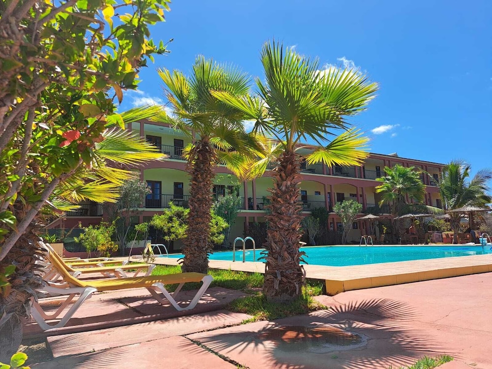 4★
Bamboo Xaguate Hotel
São Filipe, Fogo · 4-starGuest score 3.9/5 from the booking supplier · 143 reviewsSee live price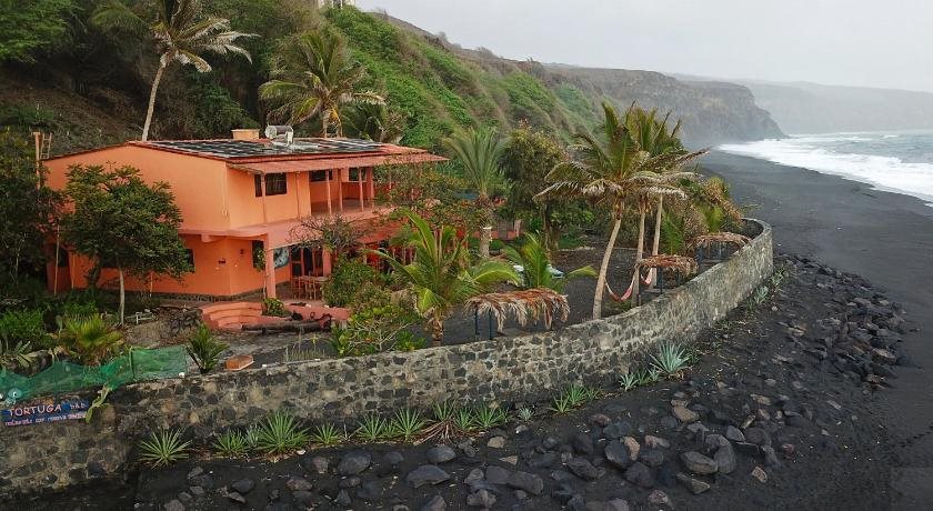 4★
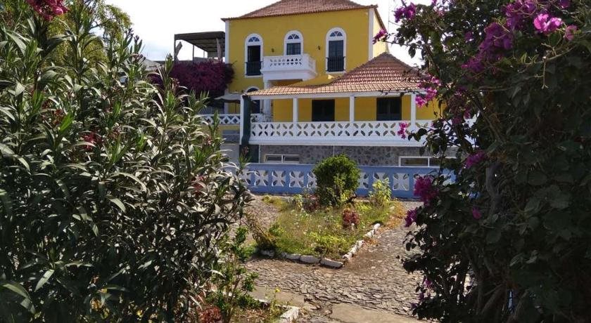 3★
Hotel Savana
São Filipe, Fogo · 3-starGuest score 4.5/5 from the booking supplier · 111 reviewsSee live price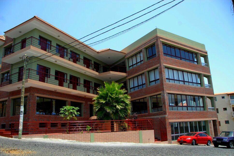 3★
Hotel Santos Pina
São Filipe, Fogo · 3-starGuest score 4.0/5 from the booking supplier · 146 reviewsSee live price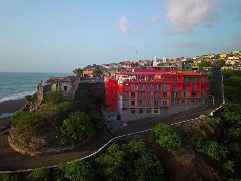 3★
Hotel Ocean View & Restaurante Seafood
São Filipe, Fogo · 3-starGuest score 4.0/5 from the booking supplier · 70 reviewsSee live priceFrequently asked questions
How high is Pico do Fogo?
Pico do Fogo reaches 2,829 m and is the highest point in Cape Verde. It is an active volcano on Fogo, rising straight from the crater floor of Chã das Caldeiras. The cone sits above the villages of Portela and Bangaeira, so the walk starts high already, which is why the climb is short in distance but hard in effort.
Where does the Pico do Fogo climb begin?
Climbs set off from Chã das Caldeiras, usually from Portela or Bangaeira on the crater floor. The track leaves the village edge and climbs the ash slope behind it. Because the road up from São Filipe is slow, most people sleep in the crater the night before and walk to the start rather than driving up in the dark.
How long does it take to climb Pico do Fogo?
Allow most of a day. Groups normally leave well before dawn and the return trip is commonly given as roughly 5 to 7 hours, depending on pace, wind and time on the summit. The descent over loose ash often takes longer than expected, so keep the rest of the day free and avoid booking onward travel for the same evening.
Do you need a guide for Pico do Fogo?
A local guide is standard practice. There is no marked trail on the upper cone and loose ash holds no tracks, so the line is not obvious in the dark or in dust. Guides live in Portela and Bangaeira and know current conditions. A fee applies, so agree what it covers before setting out.
Is the Pico do Fogo climb hard?
It is short but steep. Most of the ascent is on loose ash and scree, which slides underfoot and slows the pace, and the last pull to the rim is the steepest section. Fitness helps, but footing matters more. Anyone with knee trouble should think carefully about the descent, which is jarring even for strong walkers.
When is the best time to climb Pico do Fogo?
The dry months from November to June give the best chance of a clear summit. The short rains usually fall between August and October, and trade winds from about November to May make the upper cone cold and windy before dawn. Winter dust haze from the Sahara can spoil the view. Ask the guide about the forecast.
Can you climb Pico do Fogo without staying overnight in the crater?
It is possible in theory and awkward in practice. Starts are before dawn, and the road up from São Filipe is steep and slow, so a same-night drive from the coast means leaving very early. Most people sleep in Chã das Caldeiras, where family-run places offer simple rooms and meals, and walk to the trailhead in minutes.
What should you take on the Pico do Fogo climb?
Take warm layers and a hat for the windy summit, a headtorch for the dark ascent, sturdy boots and walking poles for the scree, and more water than feels necessary. Add food for the rim, plus sun protection, because the descent is walked in full sunlight. Keep a spare layer dry for the wait at the top.
Is Pico do Fogo an active volcano?
Yes. The last eruption ran from November 2014 to February 2015, when a new vent, Pico Pequeno, opened and lava buried much of Portela and Bangaeira. The villages have been partly rebuilt and people live in the crater again. Access and conditions can change, so check with civil protection authorities and your guide before climbing.
Read next
Sources: Serviço Nacional de Proteção Civil e Bombeiros, Instituto Nacional de Meteorologia e Geofísica, UNESCO World Heritage Centre. Editorial review: 4 November 2026, IMPT Cape Verde editorial team. Schedules, entry rules and opening times change; check before you go.
Photo credits: Ji-Elle, CC BY-SA 3.0, via Wikimedia Commons.